


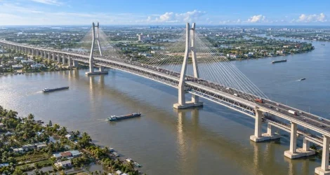
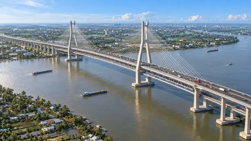
The Ministry of Construction has just issued Decision No. 1872/QD-BXD approving the investment policy for the Can Tho 2 Bridge construction project and approach roads at both ends of the bridge to serve road and rail traffic.
Final decision on a two-tiered cable-stayed bridge.
The Can Tho 2 Bridge spans the Hau River, located approximately 4.5 km downstream from the existing Can Tho Bridge. The project to build the Can Tho 2 Bridge and its approach roads has a total length of approximately 17.6 km. The starting point connects to the My Thuan - Can Tho Expressway at the Cha Va interchange in Vinh Long province; the end point connects to the Can Tho - Hau Giang Expressway at the IC2 interchange in Can Tho city.
Regarding the route, starting from the connection point with the My Thuan - Can Tho expressway, the line passes through Dong Binh commune, crosses National Highway 1, National Highway 54, Cha Va canal and Phu Ly river, then coincides with the Ho Chi Minh City - Can Tho railway line to cross the Hau River to Can Tho city.
In Hung Phu ward, the elevated section follows the planned Highway 1A axis, crossing the Hung Phu Industrial Park and the South Can Tho urban area, then separating from the railway line to connect with the IC2 interchange, linking to the Can Tho - Ca Mau expressway.